Land South-West of Godstone Station
The Site Today
The site lies in a sustainable location to the south-west of Godstone Station and the existing village of South Godstone. It is bounded by the railway line to the north, by the A22 (Eastbourne Road) to the east, by Tilburstow Hill Road to the west and by woodland and a farm to the south. A short distance to the south lies Elm Farm, which already has a resolution to grant planning consent for 23 new homes.
Access to the site is currently via field gates from both the east and the west. The site is located just south-west of Godstone Station, which is easily accessible via a short walk along the A22 under the railway bridge, and the same route provides similarly easy access to South Godstone village. This route would be upgraded as part of our proposals. There are no Public Rights of Way passing through the site; however, the development of the site provides an opportunity to link to existing Public Right of Way and bridleway routes that lie to the east of the A22, beyond the site boundary.
The site is located within the Green Belt but is not subject to any statutory or non-statutory nature conservation designations. It is self-contained and bounded by substantial tree belts that provide screening, and we would look to retain and enhance these tree belts to provide a new natural boundary to the Green Belt. The site lies predominantly within Flood Zone 1, therefore has a low probability of flooding from rivers and watercourses. The majority of the site also has a very low risk of surface water flooding.
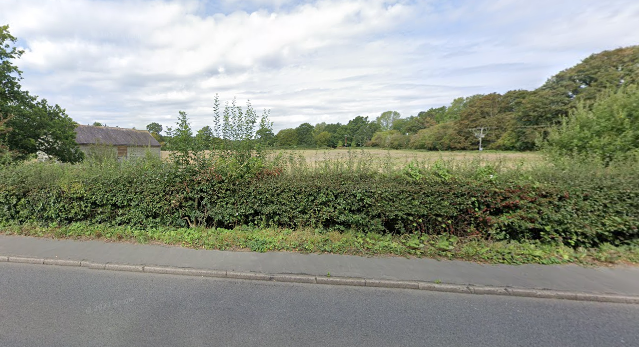
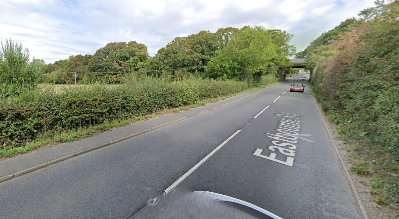
Views of the site from the A22, looking west / north-west (images courtesy of Google Maps)
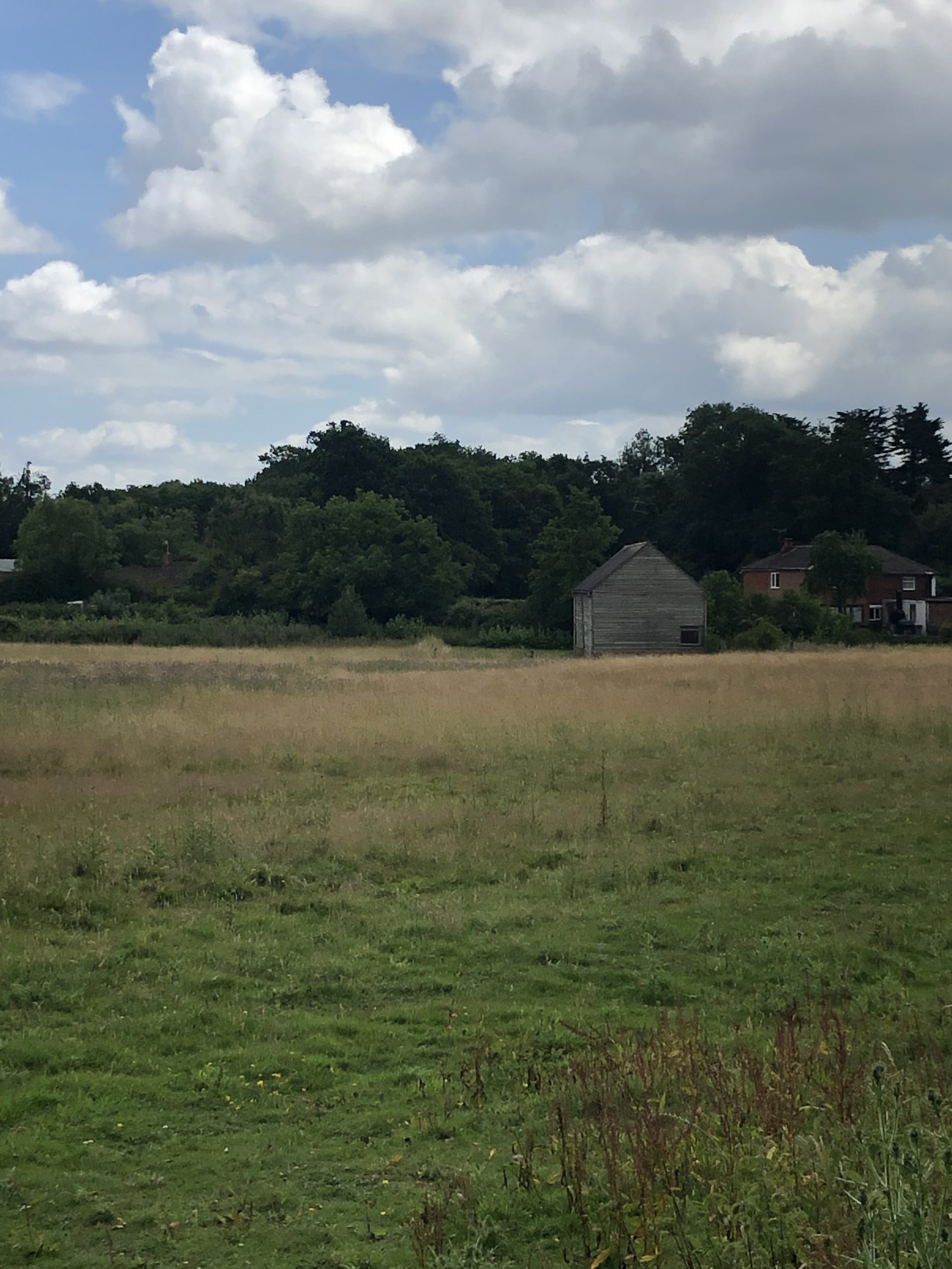
The eastern part of the site, looking east towards the A22
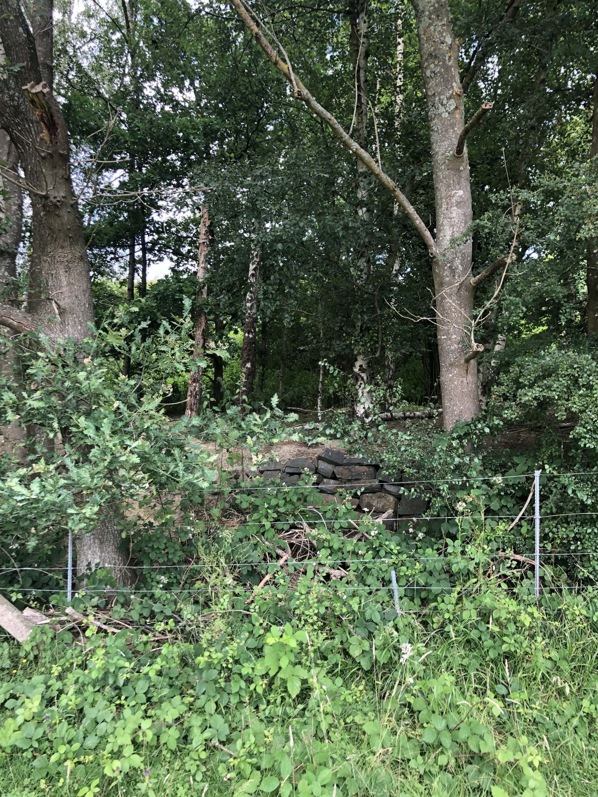
The northern boundary of the site, adjacent to the railway
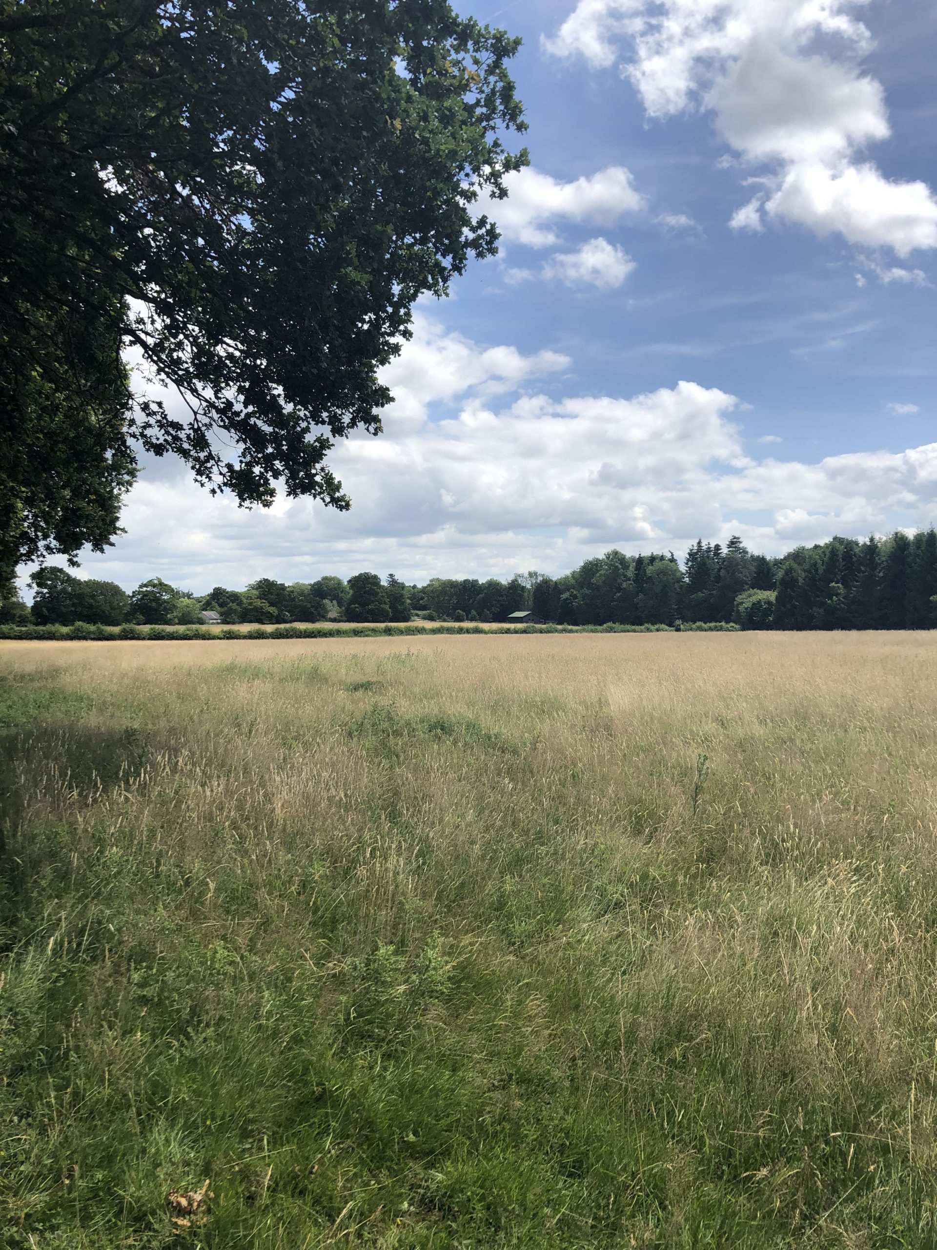
The central part of the site, looking east
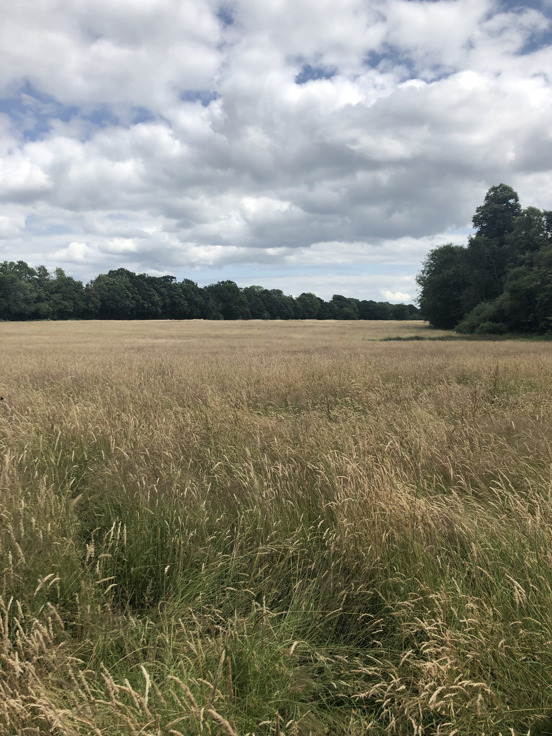
The western part of the site, looking east
Contact Us
If you have any queries, please contact Jamie O’Sullivan of SP Broadway on
07706 274 637 or at jamie@spbroadway.com